Nebraska Land Surveying & Drone Services

Land Surveying
A Limited Liability Company that provides essential Land Surveying services to residential, commercial and public markets in Nebraska. The benefits of hiring a professional survey company are many.
- Expertise & Precision: Licensed surveyors are rigorously trained and certified, ensuring that all measurements and boundaries are accurate and comply with industry standards.
- Legal Compliance & Protection: Their work is recognized by local and state authorities, providing legally sound documentation that safeguards property rights and minimizes disputes.
- Professional Accountability: Working with a licensed professional offers peace of mind through insurance and recourse in the event of errors, ensuring quality and reliability in all surveying projects.
We combine the most advanced tools and methods available to land surveying, while also making sure your interests are well within the letter of the law from start to finish.
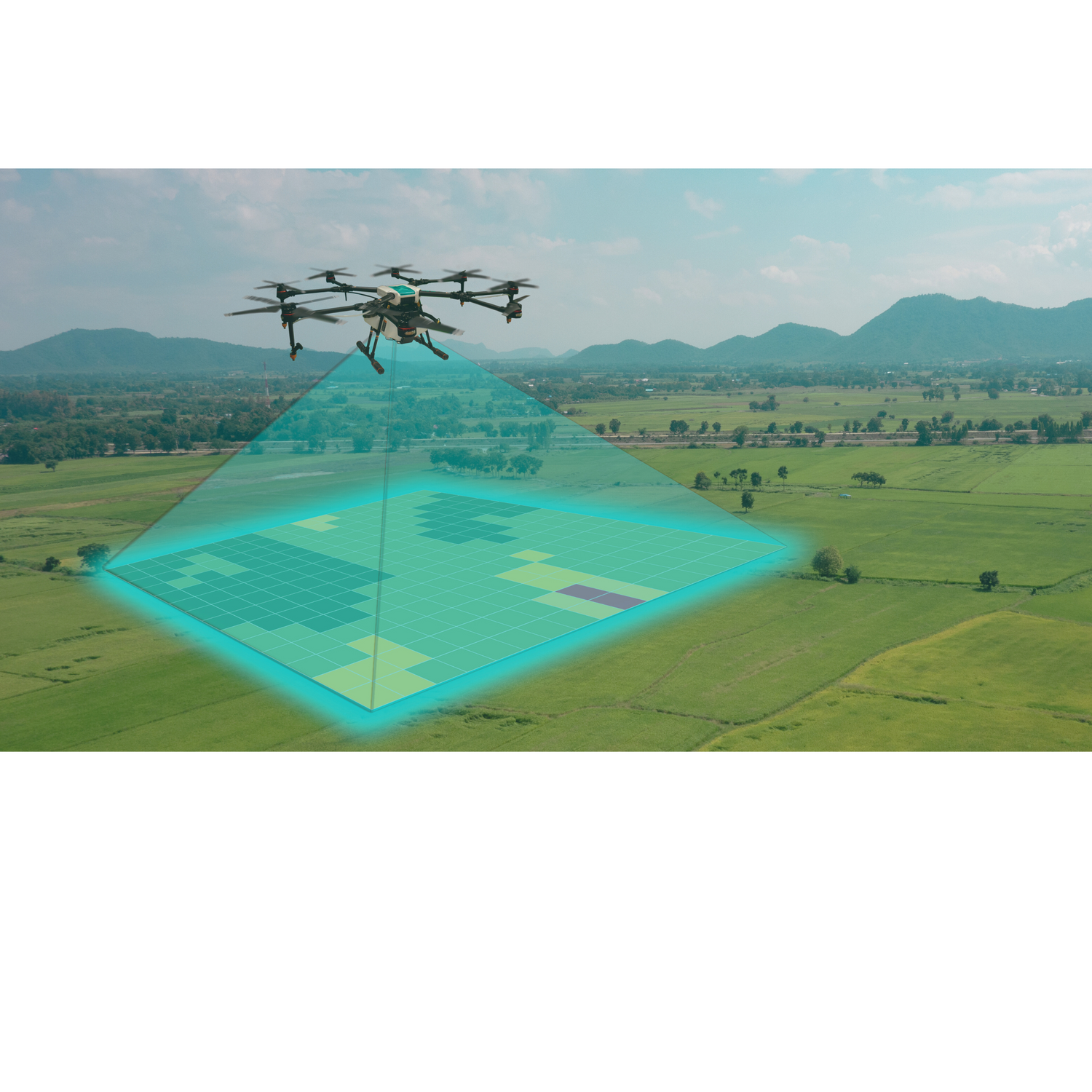
Drone Services
Our team can be there for all aspects of building the information needed to complete an elaborate or otherwise complex project. At the same time, we can also take steps to ensure you are following all laws and restrictions pertinent to your project.
- High-Resolution Data Collection: Drones capture detailed aerial imagery and 3D models that enhance accuracy and provide comprehensive site overviews for informed decision-making.
- Improved Safety & Accessibility: They enable surveys of difficult or hazardous terrain without exposing personnel to risks, ensuring efficient data collection in challenging environments.
- Cost & Time Efficiency: Drone services accelerate data gathering and reduce on-site labor, lowering project costs while delivering rapid, precise mapping results.
Experience the next level of surveying with our state-of-the-art drone services that transform even the most complex sites into clear, actionable insights.
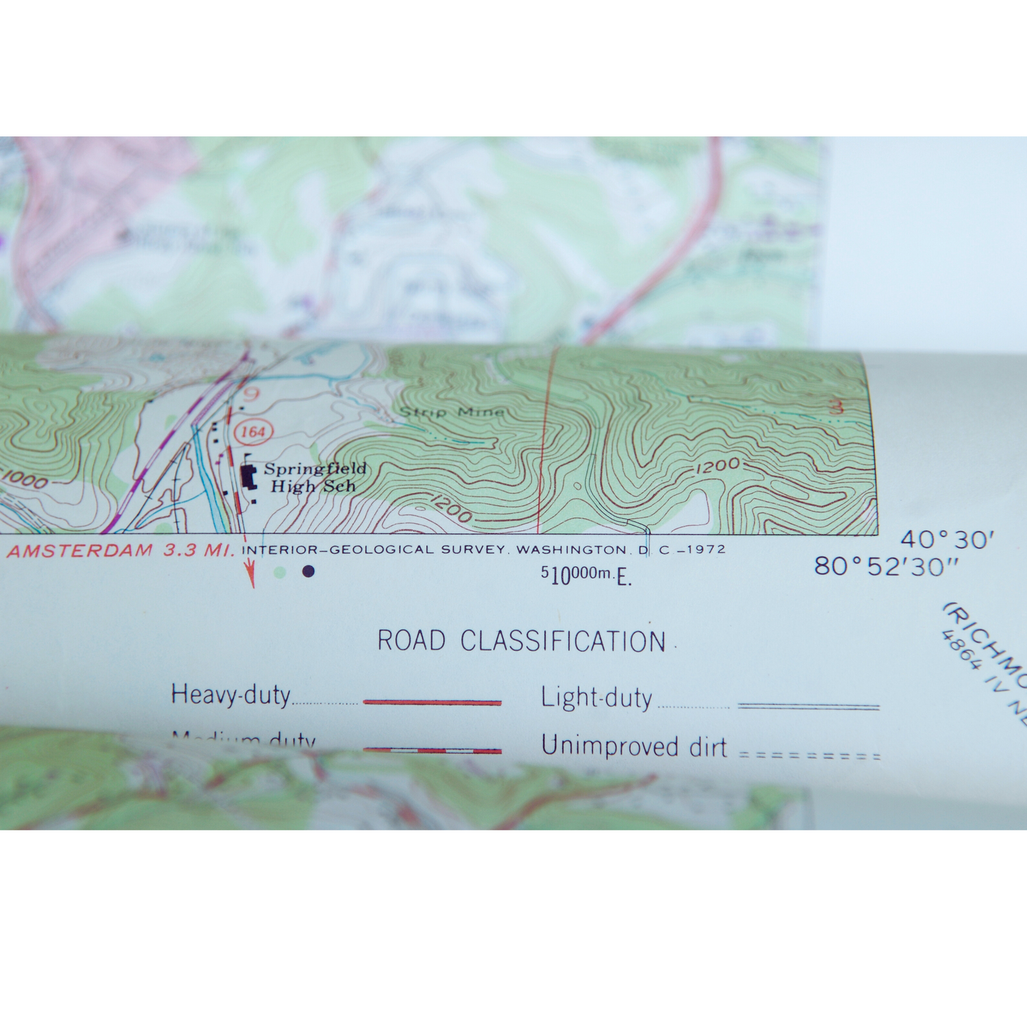
Mapping
Our expert team combines cutting-edge technology with meticulous craftsmanship to deliver a complete suite of mapping solutions—from ALTA/NSPS land title surveys to detailed topographic, design, and architectural maps, as well as specialized reports like slope analysis and as-built surveys.
- Accurate Legal & Development Insights: Gain precise boundary definitions and survey data essential for legal documentation, development planning, and regulatory compliance.
- Comprehensive Terrain Analysis: Understand every nuance of your site with detailed topographic and design maps that reveal critical insights about complex terrain and structural conditions.
- Expert Execution with Advanced Technology: Rely on our professional team and state-of-the-art tools to deliver actionable, high-resolution data that empowers you to move forward with confidence.